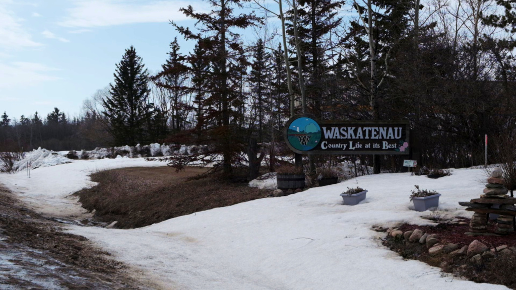
The first time you notice Waskatenau, you’re probably not looking for it. It sits about 45 minutes northeast of Edmonton on Highway 28, small enough that you could pass through in ten minutes without really seeing it. The village has maybe 260 people. There’s no big main street with restored heritage buildings competing for your attention. But there’s something about the place that sticks—the kind of quietness that isn’t empty, but full of its own logic.
The landscape does a lot of the talking here. Waskatenau sits in the North Saskatchewan River valley, and the geography is the first thing that makes sense of why the town exists at all. The name itself—a Cree word meaning “opening in the bank”—describes a gap in the ridge where Waskatenau Creek flows through on its way to meet the river. Indigenous peoples knew this geography for centuries. A Cree band called Wah-Sat-Now lived here in the 1880s, reading the landscape the way you read a map: the opening meant water, shelter, a natural gathering point. When they eventually moved south to Saddle Lake Reserve, the name stayed behind, just spelled differently.
What changed everything was the railway.
Around 1920, the Canadian National Railway pushed a line east from Edmonton toward St. Paul, and Waskatenau became a station positioned between Radway and Warspite, where the tracks had to cross Waskatenau Creek on a high timber bridge. A water tank was built to service the locomotives. The village was formally incorporated in 1932, but by then, the railway had already rewritten how people moved through this country. Goods, mail, and whole families arrived on trains instead of wagons. A place that had always been defined by water and geography now had a different kind of lifeline running through it.
You can still see that 1919 wooden trestle today if you walk along the nature trail that follows the creek. It’s weathered but steady, and it marks the start of the Iron Horse Trail—260 kilometres of multi-use path heading east through the Lakeland region. The trestle feels like proof that something real happened here, not just in the past but in a way that still matters.
What strikes you when walking around Waskatenau is how many routes still pass through. The Victoria Trail runs south of town along the North Saskatchewan River, following paths that traders and settlers used in the 1870s. It still meanders with the river, refusing the grid. The Iron Horse Trail branches out east. People come here to access those routes—hikers, cyclists, people on ATVs. The geography that drew the Cree, then the railway planners, now draws people who want to move through the landscape on their own terms.
This is a community that hosts baseball tournaments at a genuinely good facility, and a story about the time locals set a Guinness World Record for the longest continuous softball game—115 hours and 3 minutes in 2009, raising over $110,000 for two Edmonton hospitals. You don’t forget a detail like that. It says something about a place: that people will sit in the summer heat for nearly five days straight if it means something to them.
Waskatenau isn’t trying to be anything other than what it is. It’s a small village holding onto the routes and the geography that made it possible in the first place. The creek still cuts through the ridge. The river still runs. And people still find reasons to pass through, to stop, to stay awhile. Sometimes that’s enough.